Geodetic base plans
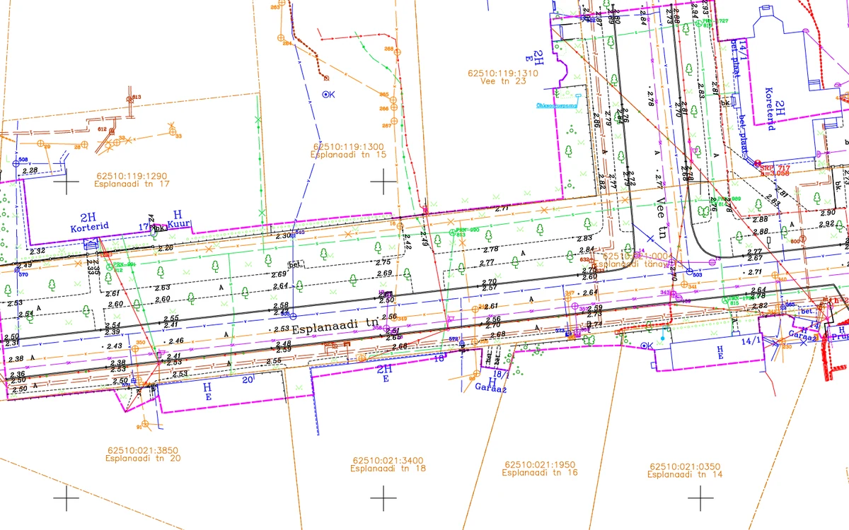
Preparation of the geodetic base plan (topographic survey) including the utility networks on the site. Usually required for design work.
Read more ↓Surveying company in Pärnu · Pärnu County and surroundings
KindelPunkt OÜ is a geodetic surveying company in Pärnu, Estonia. We carry out accurate and reliable surveying work in Pärnu and Pärnu County – topographic surveys (geodetic base plans), as-built surveys, as-built drawings, volume calculations and 3D models for machine control.
Services
Preparation of the geodetic base plan (topographic survey) including the utility networks on the site. Usually required for design work.
Read more ↓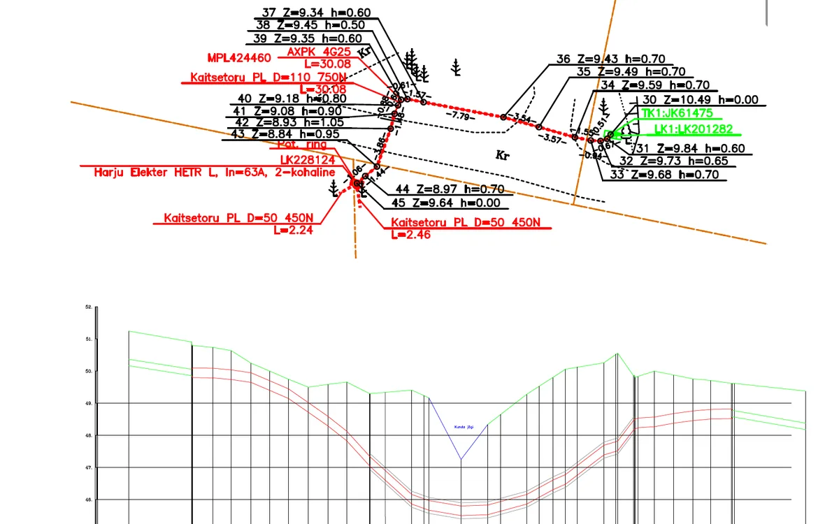
As-built drawings prepared to the required standards:
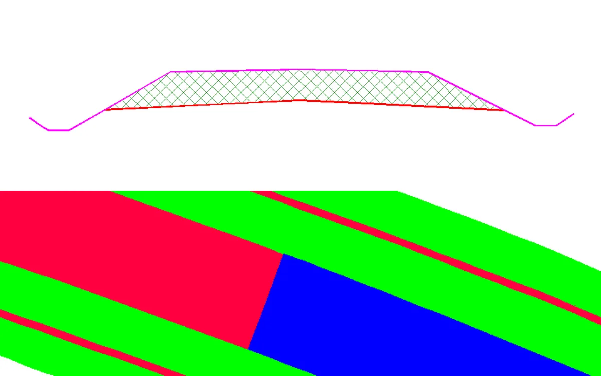
Whatever volume the client needs, we calculate it.
Read more ↓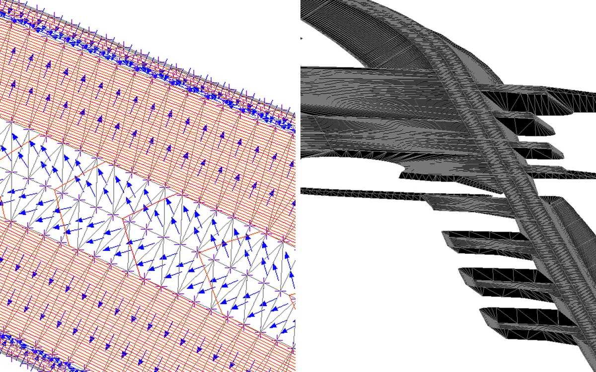
Our services in detail
The four jobs most often ordered in Pärnu and Pärnu County – what they are, when you need them and exactly what you get from us.
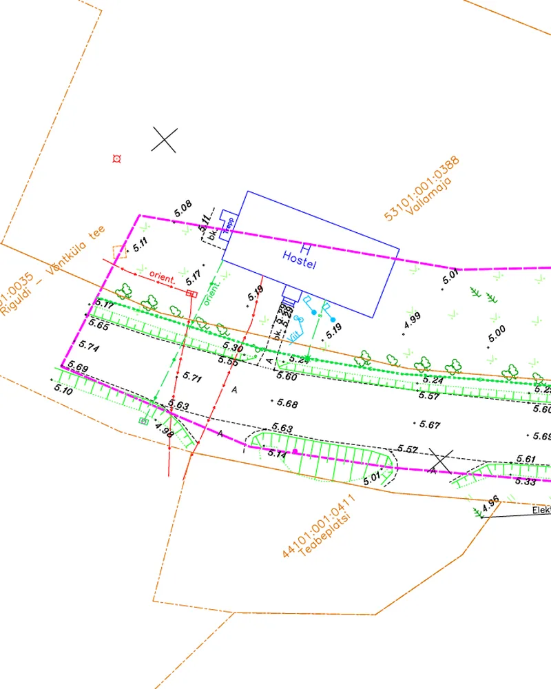
A geodetic base plan (topographic survey) is the starting point of every construction project. It is a precise survey of the plot and its surroundings: ground levels, buildings, roads, trees, fences and the underground and overhead utility networks. Without a valid base plan a designer cannot design a building, an extension, a road or a utility line – most municipalities require a base plan that is no more than two years old.
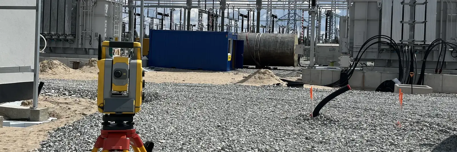
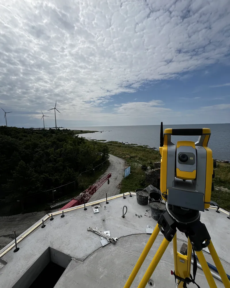
We prepare base plans in Pärnu and throughout Pärnu County – for private and apartment-building plots, industrial and commercial buildings, roads, yards and utility networks. We survey with GNSS equipment and a total station. We obtain the utility data from the network owners and coordinate it with them. We draw up the plan according to the current requirements and register it with the local municipality. You receive the base plan as a DWG or DXF file and as a PDF.
The price of a base plan depends on the size of the area and the density of utilities – send us the address and the purpose and we will make an offer.
An as-built survey records how a building, structure or utility line was actually built, and the as-built drawing is its official result. It is needed for the occupancy permit and notice of use and for registering every new water, sewerage, electricity, telecommunications and district heating line with the network owner and the municipality.
We survey pipes and cables and the position and levels of completed buildings and structures, prepare an as-built drawing that meets the requirements and submit it wherever it is required: the Estonian Building Register (EHR), the local municipality and the network owners – Elektrilevi, Telia, ELA SA, water utilities and others.
An underground utility line should be surveyed before the trench is closed – we agree the survey time so that the trench does not have to stay open longer than necessary.
A volume calculation tells you how much soil has been excavated or filled, how much crushed stone, sand or asphalt has been placed in the pavement layers and how large a stockpile in a yard is. An accurate volume calculation is the basis for construction work certificates, material orders and agreements between the client and the contractor.
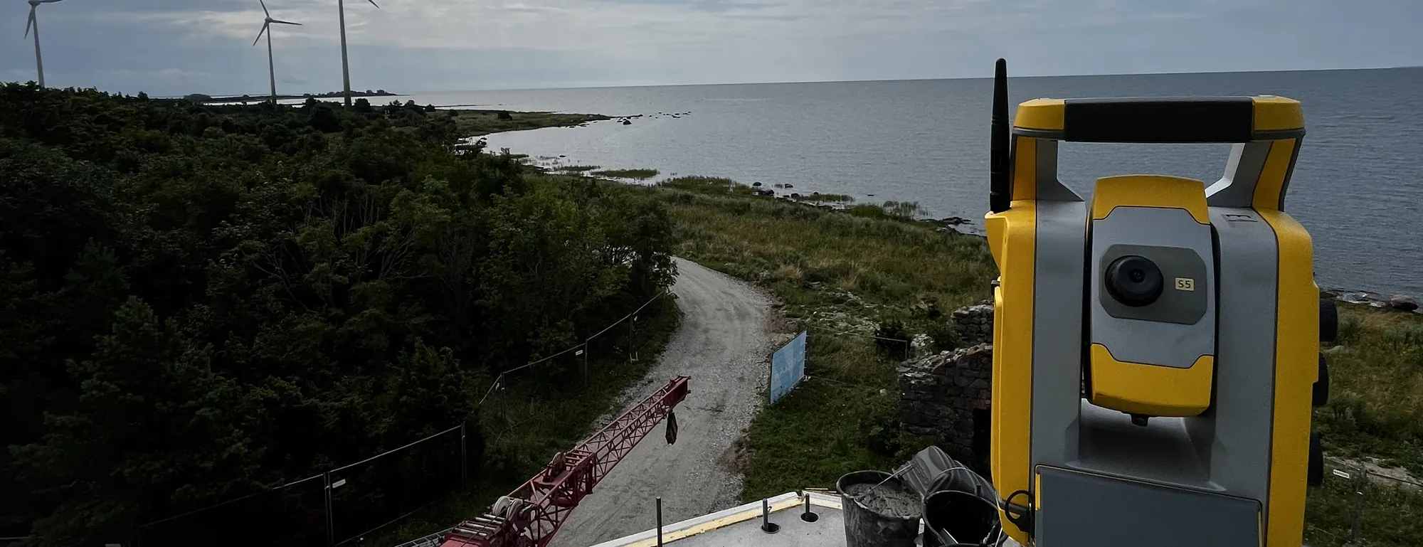
We survey the surface with GNSS, a total station or a drone and build surface models in Civil 3D. We calculate cut and fill volumes, pavement layer volumes and stockpile volumes and deliver the result as a clear report with surface models and drawings that can be submitted to the supervisor or the client.
Our experience ranges from small private projects to large highway projects.
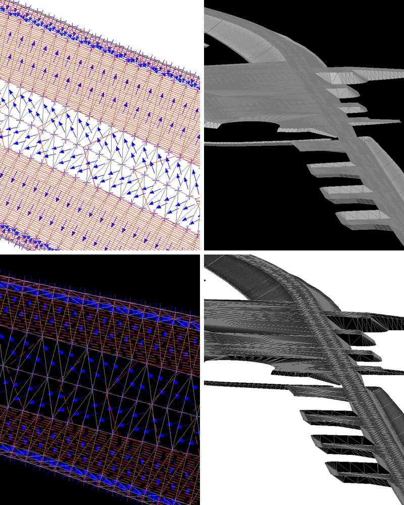
We build 3D surface models from the design for the machine control systems of excavators, dozers and graders – the TOP surface, the DATUM surface and the intermediate pavement layers. A machine working from a model digs and grades directly to the design levels without constant setting-out, and the result is more accurate and faster.
We make models for roads, yards, car parks, wind farm access roads and crane pads. The output is LandXML, DXF (3D faces) or the machine manufacturer's format (Trimble, Leica, Topcon). If the design has no 3D model or an incomplete one, we build it from the 2D drawings and longitudinal profiles.
About
KindelPunkt OÜ is a geodetic surveying company in Pärnu County that prepares geodetic base plans, as-built drawings, volume calculations and 3D models. We work in Pärnu County and the surrounding area, and our clients range from private individuals to construction companies and designers. Years of experience in both fieldwork and office work. That is why we know what a good result really requires.
How we work
Describe the site, its location and your goal. If needed we ask a few follow-up questions, then send a clear quote.
We survey the site at the agreed time, together with the client if needed.
We prepare the plans, models, drawings and reports.
We deliver the results in the format you need, with the necessary documentation. We submit and register the drawings in the required registers.
Service area
We work in the city of Pärnu and throughout Pärnu County. We do the fieldwork and the drawings ourselves – the client deals directly with the surveyor who visited the site. Under suitable conditions we also travel further, for example to Lääne, Viljandi and Rapla County.
For 3D models the location of the site does not matter.
FAQ
If your question is not here, write to us – we reply as soon as possible.
Ask us directlyThe price depends on the size of the area, the density of utility networks and how easy the terrain is to move through. For an ordinary private plot we make a fixed-price offer – send us the address of the plot and the purpose (what you intend to design) and we reply as soon as possible.
Fieldwork on a private plot usually takes one day. After that we request the network data and approvals from the utility owners, finalise the plan and register it with the municipality. Allow about three weeks in total – the exact time depends on how quickly the approvals arrive.
A base plan is the basis for all design work: designing a new building, an extension, a road, a yard or a utility line, applying for a building permit or building notice, and preparing a detailed plan. Most municipalities require the base plan to be no more than two years old – an older plan has to be updated.
A base plan is made before design and shows the existing situation. An as-built drawing is made after construction and shows where and at what level the building, structure or utility line was actually built. The first is needed by the designer, the second for the occupancy permit and for registering utility lines.
Yes. The Building Code and the documentation requirements for construction require an as-built drawing for every completed building and utility line – without it you cannot get an occupancy permit or notice of use, and the network owner will not register the new line. Utility lines have to be surveyed before the trench is closed, so call the surveyor in time.
In the city of Pärnu and throughout Pärnu County – Paikuse, Sauga, Audru, Sindi, Tori, Uulu, Häädemeeste, Kilingi-Nõmme, Vändra, Pärnu-Jaagupi, Tõstamaa, Lihula and their surroundings. For larger jobs we also travel further by agreement.
Plans and drawings are delivered in DWG, DXF and PDF format.
Machine control models as LandXML or DXF (3D faces).
Volume calculations as a report with surface models (Civil 3D).
Drawings that need registration we submit ourselves to the Building Register, the municipality and the network owners.
No. Cadastral surveys (determining land unit boundaries and restoring boundary markers) may only be carried out by a land surveyor with a land consolidation licence. We are an engineering surveying company: base plans, as-built surveys and drawings, volume calculations and 3D models. If you need a boundary survey, we recommend contacting a licensed cadastral surveyor.
Contact